 |
Drone Analysis with Drone2Map and ArcGIS Online
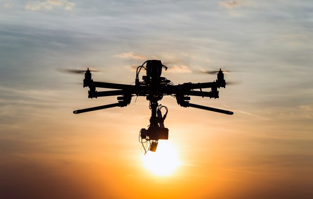
 Drone Analysis with Drone2Map and ArcGIS Online Released 05/2025 With Jason VanHorn MP4 | Video: h264, 1280x720 | Audio: AAC, 44.1 KHz, 2 Ch Skill level: Intermediate | Genre: eLearning | Language: English + subtitle | Duration: 1h 44m 30s | Size: 349 MB Explore techniques using ArcGIS Drone to Map and ArcGIS Online to enhance your mapping projects with ortho photos, GPS integration, site inspection, 3D modeling, and more. |
| Часовой пояс GMT +3, время: 11:46. |
vBulletin® Version 3.6.8.
Copyright ©2000 - 2025, Jelsoft Enterprises Ltd.
Перевод: zCarot