Gis Web Mapping With React Leaflet, Postgresql And Postgis
Published 2/2026
Created by Micah Kutoto
MP4 | Video: h264, 1920x1080 | Audio: AAC, 44.1 KHz, 2 Ch
Level: All Levels | Genre: eLearning | Language: English | Duration: 12 Lectures ( 2h 12m ) | Size: 2 GB
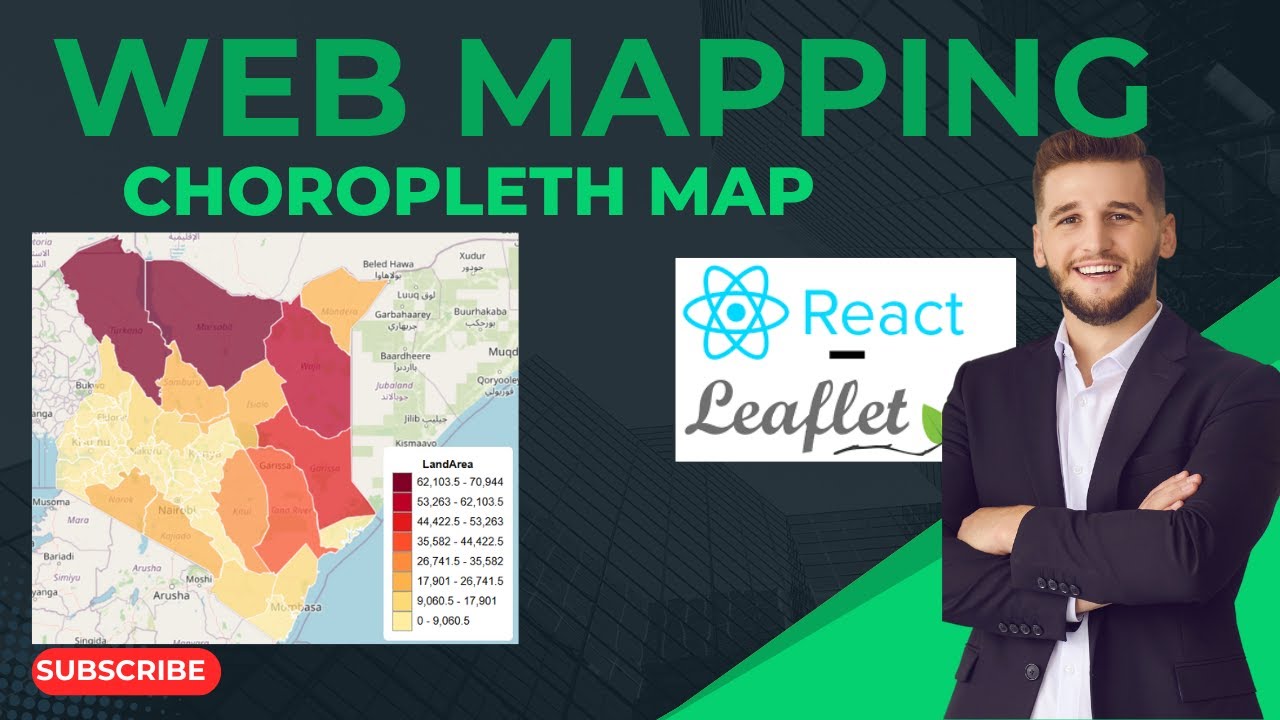
✓ Build Interactive Web Maps with React Leaflet-Create dynamic, responsive choropleth maps using React and Leaflet, styled based on spatial data attributes.
✓ Design and Manage Spatial Databases with PostgreSQL & PostGIS Set up PostgreSQL, enable the PostGIS extension, and store, query, and optimize geospatial data.
✓ Create Choropleth Maps from Real Spatial Data Connect a backend API to a PostGIS database and render GeoJSON data in React Leaflet with custom classification.
✓ Perform Spatial Queries for Web Applications Use PostGIS functions (e.g., spatial joins, buffering, intersections) to power real-world GIS web mapping apps.
Requirements
● Basic understanding of JavaScript and React. Students should be familiar with fundamental React concepts such as components, props, and state. Basic knowledge of SQL Understanding simple SQL queries (SELECT, WHERE, JOIN) will help students follow along with PostgreSQL and PostGIS examples. A computer with internet access Windows, macOS, or Linux is fine. We will install PostgreSQL, PostGIS, Node.js, and required tools step-by-step. No prior experience with GIS or PostGIS required Everything related to spatial databases, choropleth mapping, and PostGIS functions will be explained from scratch.
Description
This course is designed to help you build modern, real-world GIS Web Mapping Applications using industry-standard technologies. You will learn how to create interactive Choropleth Maps with React Leaflet, manage and query spatial data using PostgreSQL, and unlock powerful geospatial capabilities through the PostGIS extension. Rather than focusing only on theory, this course takes a practical approach where you will build a complete working mapping application from scratch.
Throughout the course, you will work with real geospatial datasets, write efficient Spatial SQL queries, and understand how spatial databases power modern web mapping systems. You will learn how to structure and store spatial data, perform operations such as spatial joins, buffer analysis, and intersections, and serve optimized GeoJSON data to a frontend application. By connecting a React interface to a spatial backend, you will see how full-stack Web GIS development works in real production environments.
By the end of this course, you will have the skills to confidently build scalable interactive web maps, design and manage spatial databases, and develop professional-grade GIS web applications. Whether you are a GIS student, developer, or professional looking to expand into full-stack GIS development, this course will give you the practical knowledge needed to move from understanding maps to building them.
Who this course is for
■ This course is for all levels of students, Both beginners and intermediate students are free to learn the course.